Community Corner
Winter Storm Warning: Updated Forecast for Ross & West View
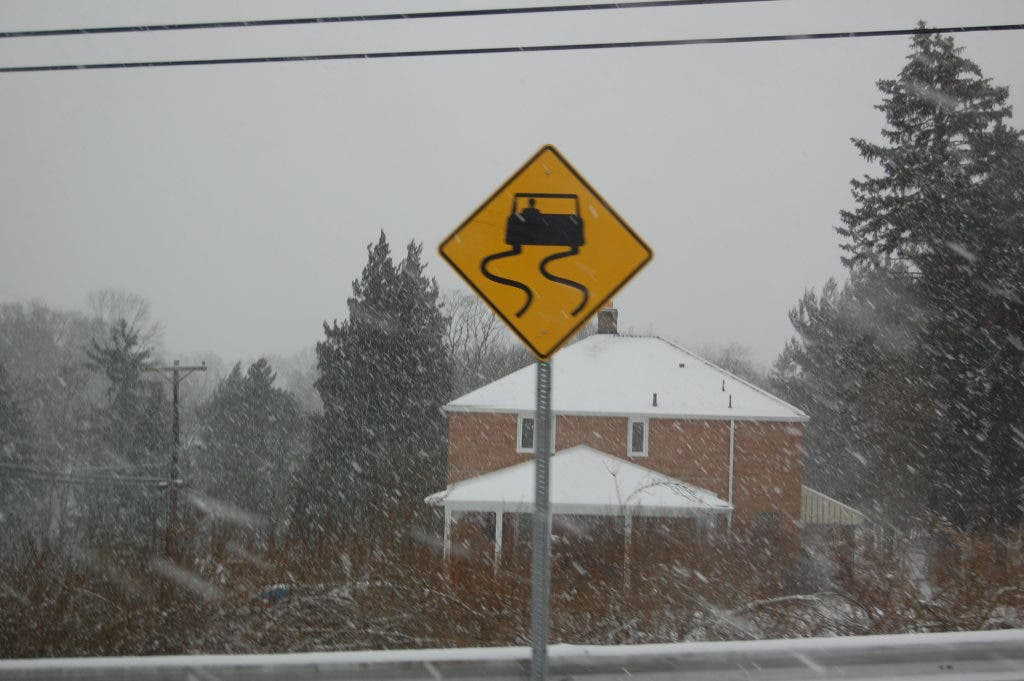
The heaviest of the snow is expected to taper off Wednesday evening.

The National Weather Service in Pittsburgh has issued a winter storm warning for a wide portion of Western Pennsylvania, including Ross and West View until 6 a.m. Thursday.
- Heavy snow, sleet and freezing rain mixing at times through Wednesday.
- A total of 3 to 6 inches is expected before the storm ends.
- Heavy snow will taper off in intensity by late Wedesday afternoon.
Here is the latest forecast:
- Rest of Wednesday: Snow. The snow could be heavy at times. High near 32. East wind 10 to 14 mph. Chance of precipitation is 100%. Total daytime snow accumulation of 3 to 7 inches possible.
- Tonight: Snow, freezing rain, and sleet before 1am, then snow likely, possibly mixed with freezing drizzle. Low around 26. Northeast wind 7 to 11 mph. Chance of precipitation is 80%. New snow and sleet accumulation of less than a half inch possible.
- Thursday: A chance of snow showers, mainly before 1pm. Cloudy, with a high near 32. Northwest wind 13 to 17 mph. Chance of precipitation is 50%. Little or no snow accumulation expected.
- Thursday Night: Cloudy, with a low around 23. West wind 10 to 14 mph, with gusts as high as 24 mph.
Check out some of today's other top stories here .
Find out what's happening in North Hillswith free, real-time updates from Patch.
Get more local news delivered straight to your inbox. Sign up for free Patch newsletters and alerts.
We’ve removed the ability to reply as we work to make improvements. Learn more here