Community Corner
Updated Forecast, Interactive Traffic Map: See Conditions Before You Decide to Head Out
The freezing rain could mix with sleet and snow before changing to all rain later in the day.

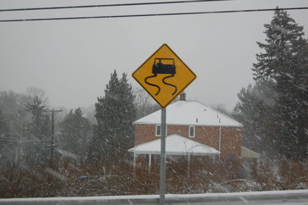
There could be very little rush to the Monday morning rush hour. The National Weather service in Pittsburgh has issued a winter weather advisory until 1 p.m. Monday for most of Western Pennsylvania, including Ross Township and West View.
Because of very cold ground and snow pack, roads and sidewalks are expected to be icy.
Here is a more detailed look at the forecast:
Find out what's happening in North Hillswith free, real-time updates from Patch.
- Monday: Freezing rain before 11am, then rain. High near 43. Southwest wind 7 to 11 mph. Chance of precipitation is 90%. New precipitation amounts between a tenth and quarter of an inch possible.
- Tonight: Showers likely, mainly before 10pm. Areas of fog. Otherwise, cloudy, with a low around 43. Southwest wind around 11 mph. Chance of precipitation is 60%. New precipitation amounts between a tenth and quarter of an inch possible.
Click on "view larger map" for an interactive look at how the roads are where you live.
Then click on the blue camera icon to see live pictures from traffic cameras.
Find out what's happening in North Hillswith free, real-time updates from Patch.
Map Legend:
- Red: Slow or stopped traffic
- Yellow: Expect delays but traffic is moving
- Green: all clear
Let Patch know how the roads are where you live in the comments box below.
Follow us on Twitter | Like us on Facebook
Check out some of today's other top stories here .
Get more local news delivered straight to your inbox. Sign up for free Patch newsletters and alerts.
We’ve removed the ability to reply as we work to make improvements. Learn more here